
Transforming GIS with CAD Integration for Smarter Infrastructure
/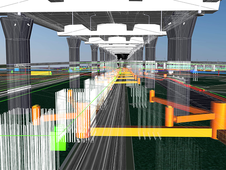
Uncover how geographic information systems (GIS) professionals leverage cutting-edge technology to revolutionize infrastructure projects. Integrating GIS and computer-aided design (CAD) breaks down traditional silos, enabling seamless data sharing, real-time insights, and enhanced collaboration.
Learn how digital twins, cloud platforms, and a common data environment empower teams to streamline workflows and improve decision-making. This innovative approach unlocks advanced analytics, supports sustainable solutions, and drives smarter, more efficient infrastructure development and maintenance.
Explore the transformative power of GIS-CAD integration and discover how technology is reshaping the future of critical infrastructure. Dive deeper into this topic here.


